


Safety laser scanner 2d for robot AMR navigation programmable
group nameNavigation and positioning robot AGV safety laser scanner sensor
-
Min Order1 piece
brand nameCYNDAR
modelXD-TOF-10HM
payment methodT/T, Paypal
-
update timeWed, 03 Feb 2021 11:39:35 GMT
Paramtents
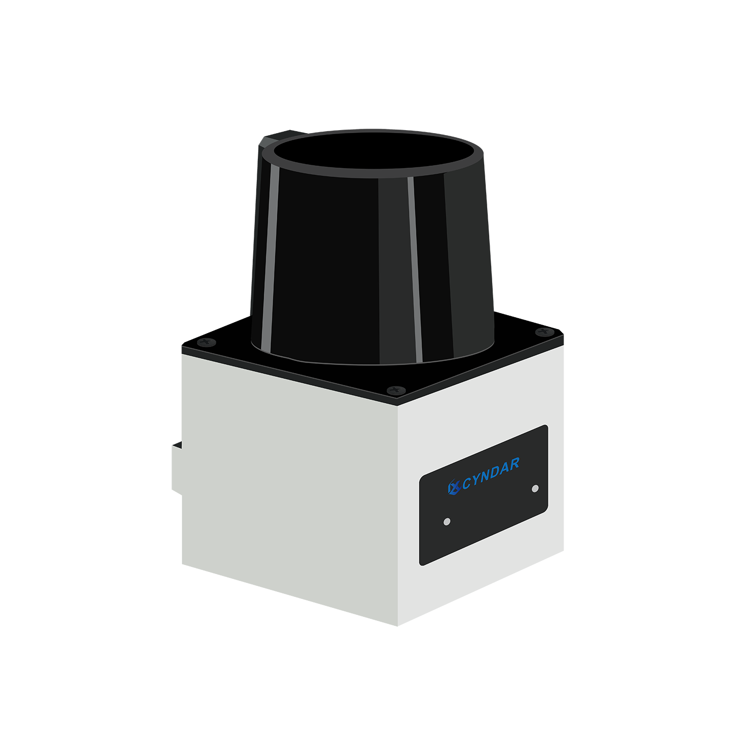
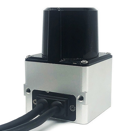
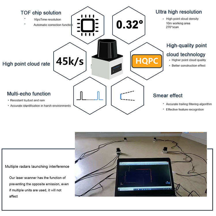
Product name 2D-TOF navigation type safety laser scanner
Ranging accuracy ±30mm
Scan range 270º
Angular resolution 0.32º
Detection distance 10m
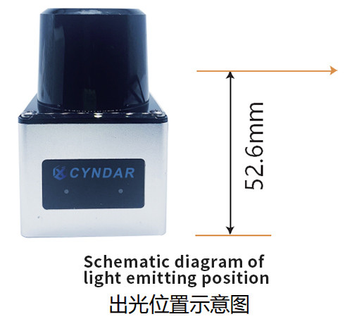
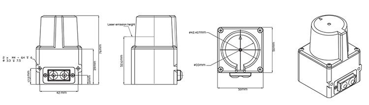
size 50*50*76mm
Packging & Delivery
Size15cm x15cm x12cm
Weight1kg / piece
Min Order1 piece
Briefing
Detailed
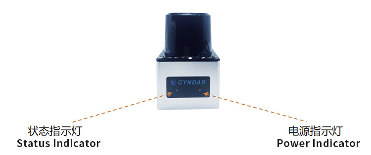
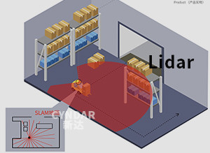
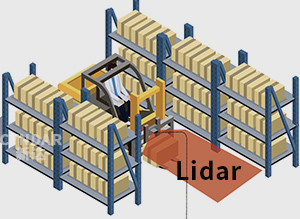
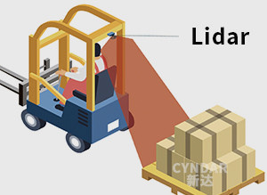
lidar indoor navigation sensor product description
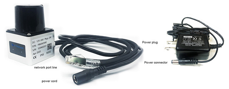
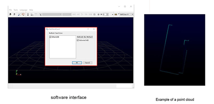
Through the control software XD-Navigation and SDK software package provided by CYNDAR, users can start system-level development conveniently and quickly. Navigation can be used for robot positioning and navigation, map surveying, environmental modeling, security and other fields.
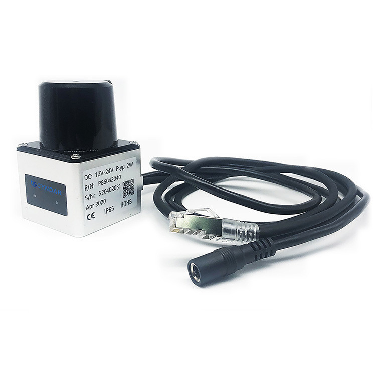
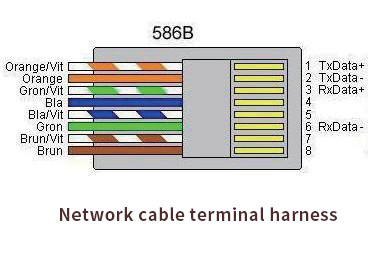
colour | signal |
Orange white | TX+ |
Orange | TX- |
Green and white | RX+ |
green | RX- |
You need a product


You May Like


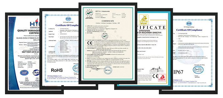
6YRS GZ Cyndar Co., Ltd
- Delivery clauses under the trade mode
- FOB, EXW, Express Delivery
- Acceptable payment methods
- T/T, PayPal